I am a writer of fantasy fiction that often surrounds middle-aged women. I am a married mother of two and granny to three, a BoHo Chic kinda gal. I am recently retired and busier than when I worked 9-5. But writing and blogging is my main game.
View all posts by humoringthegoddess
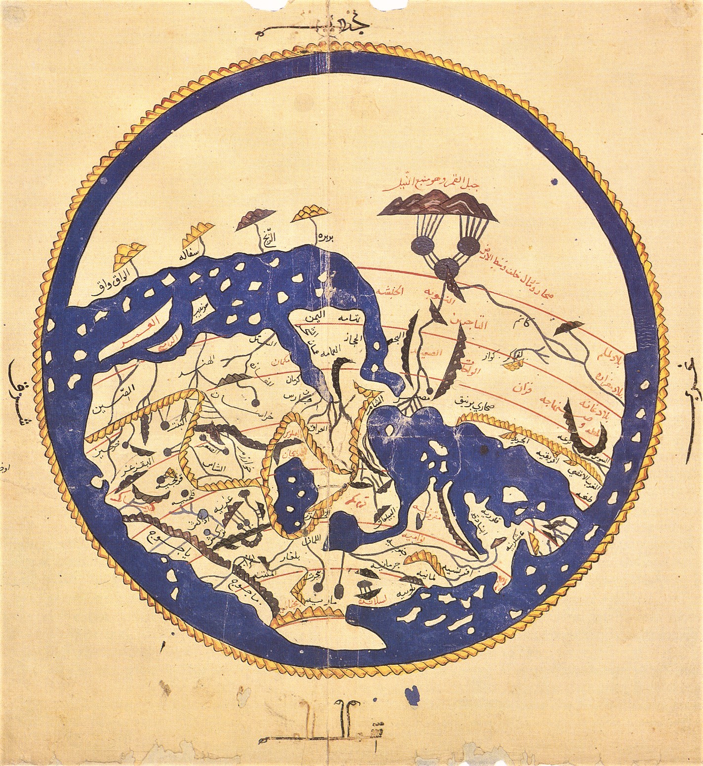
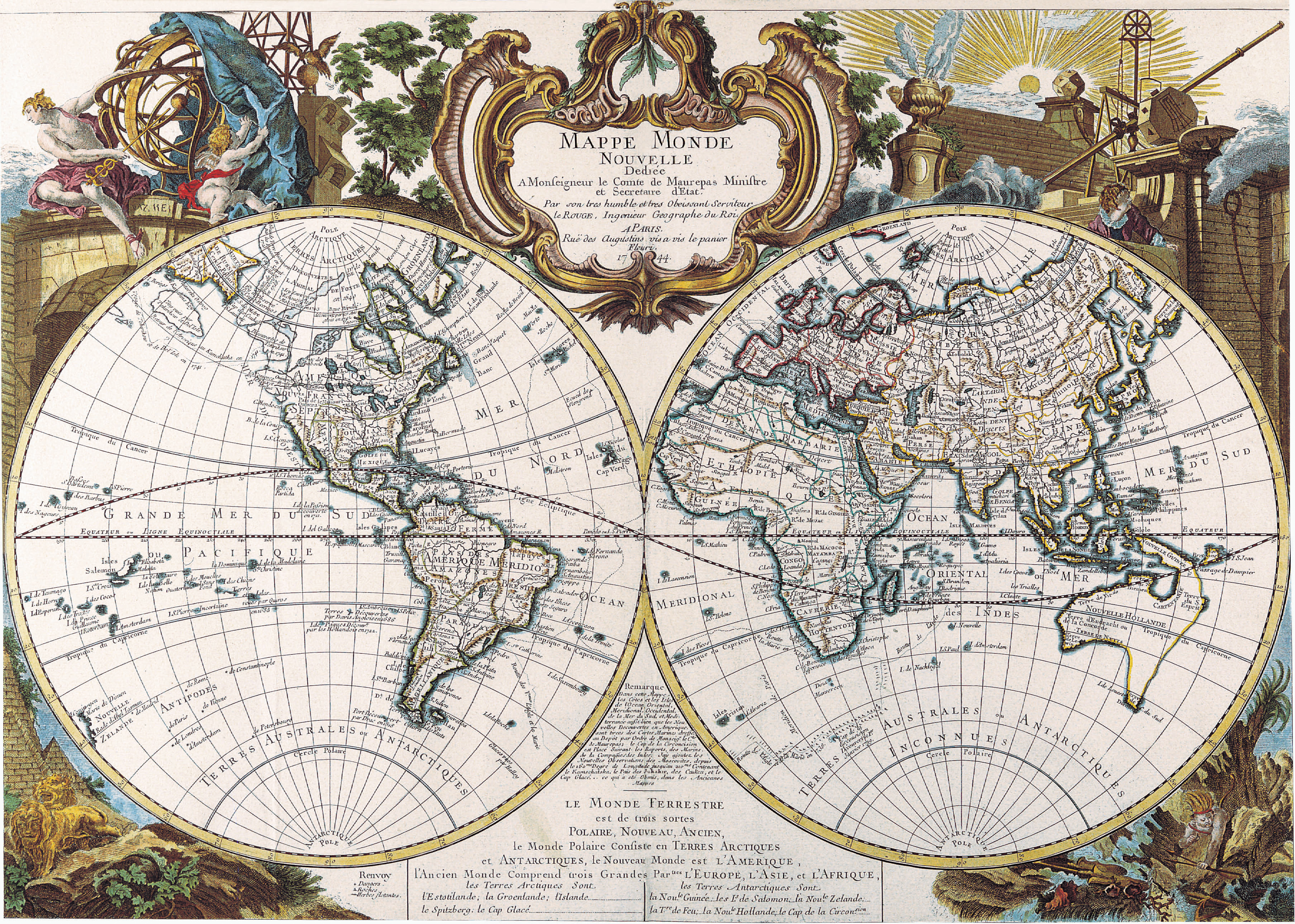
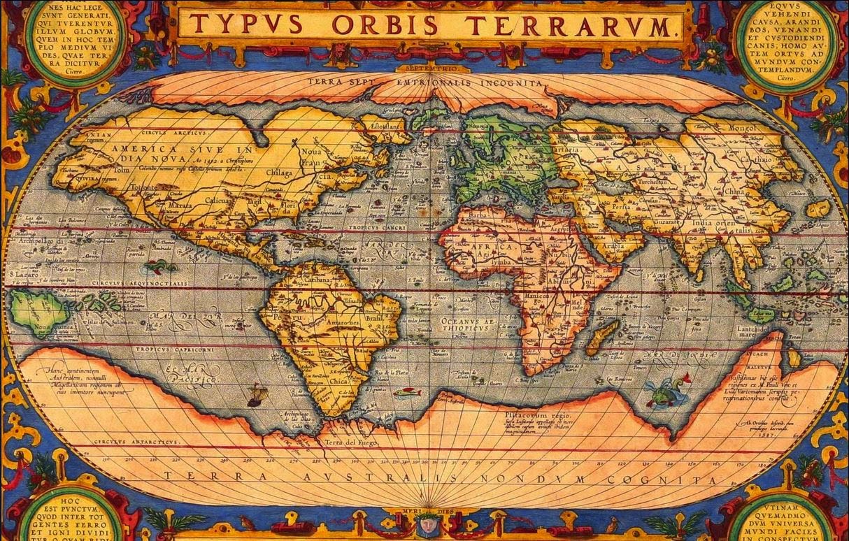
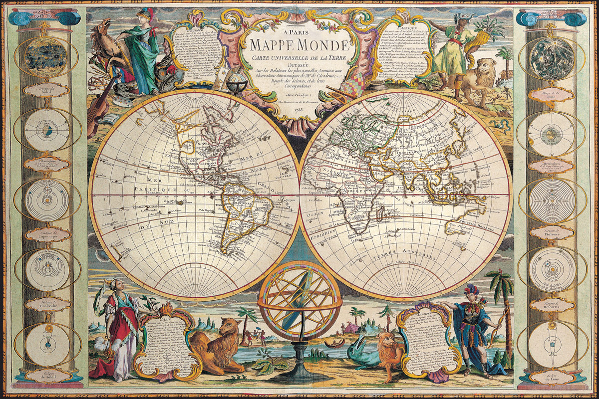
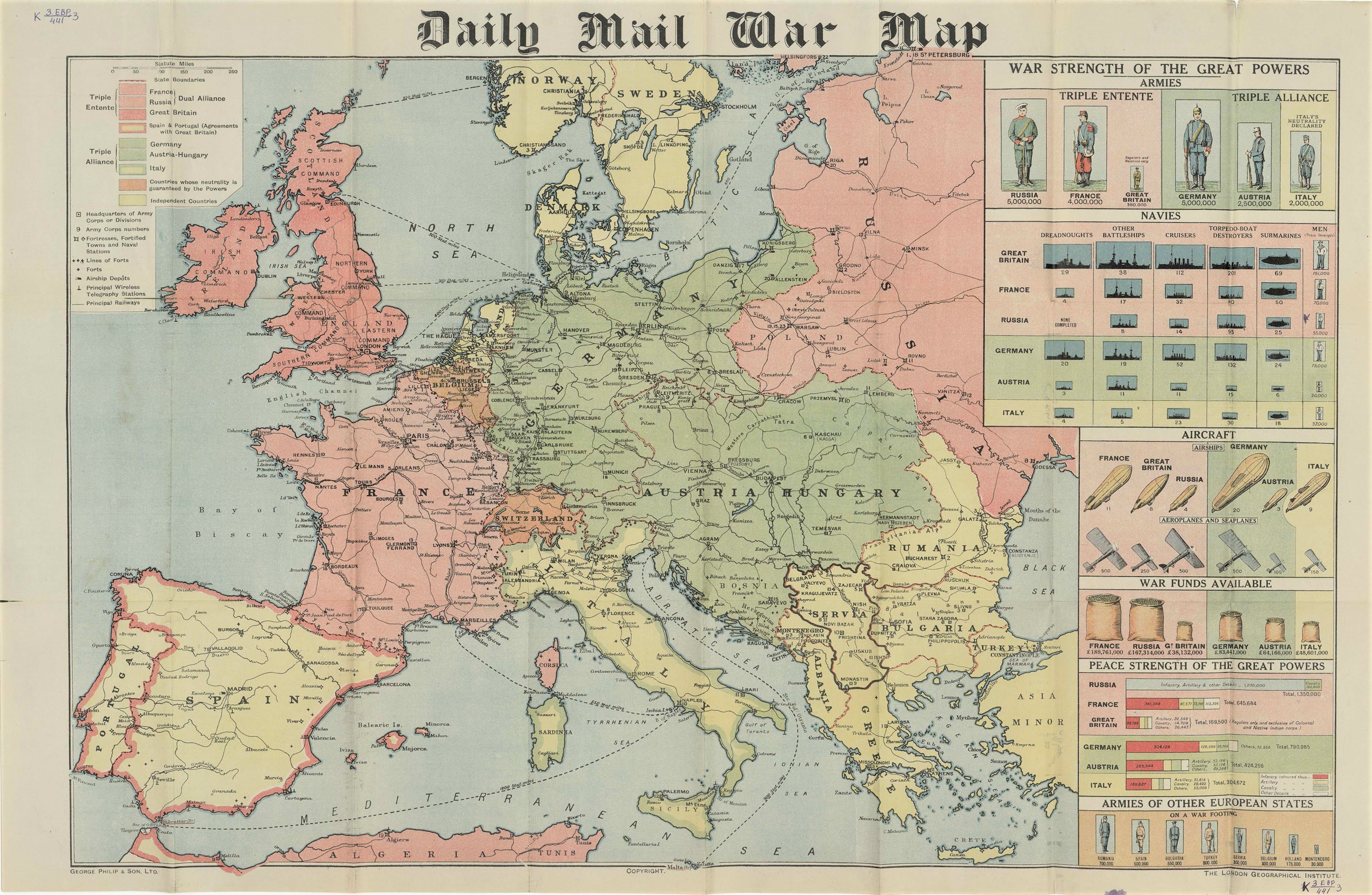
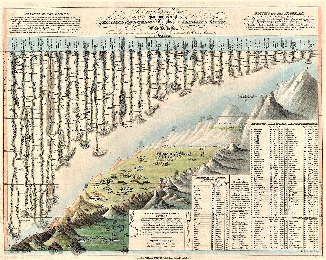
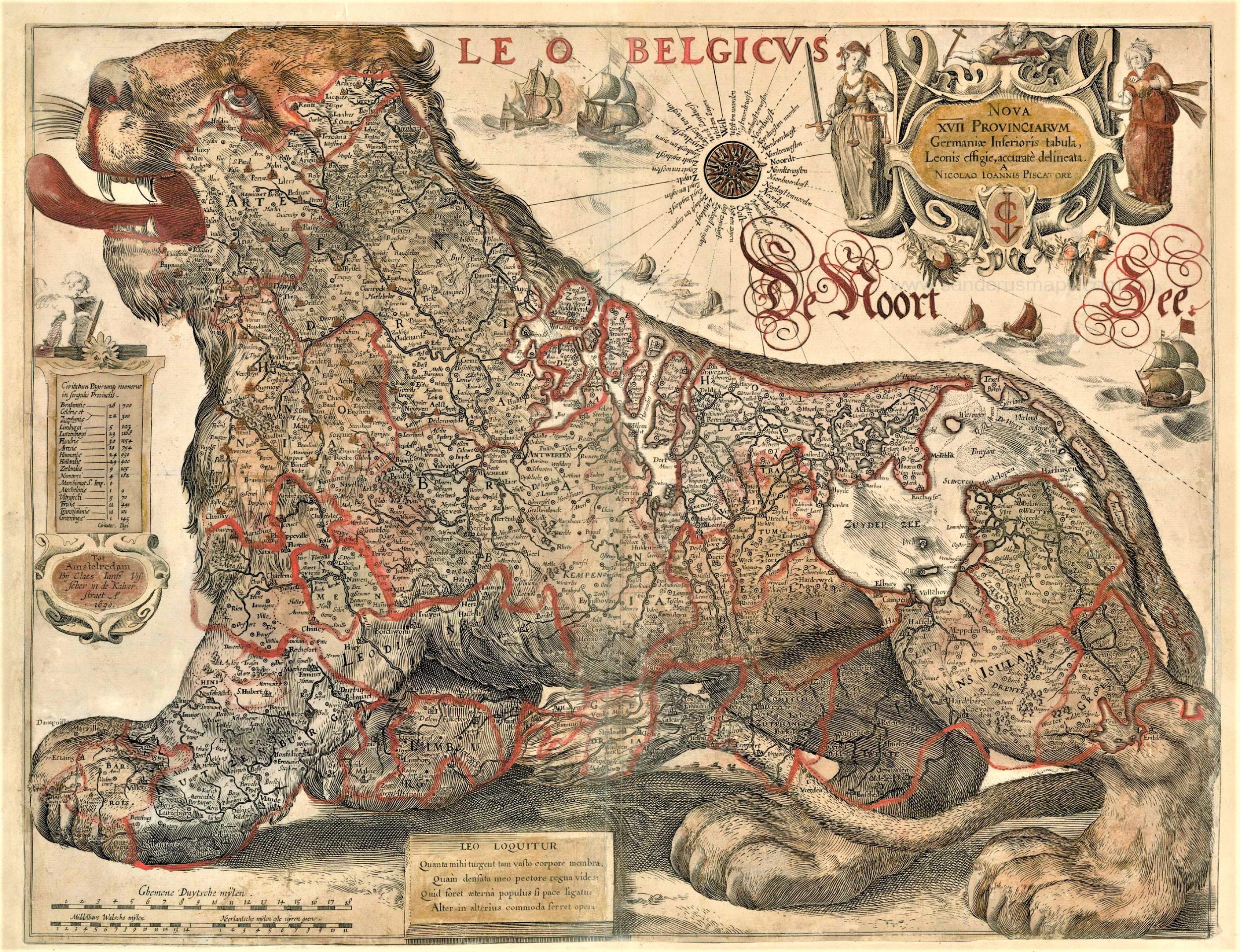
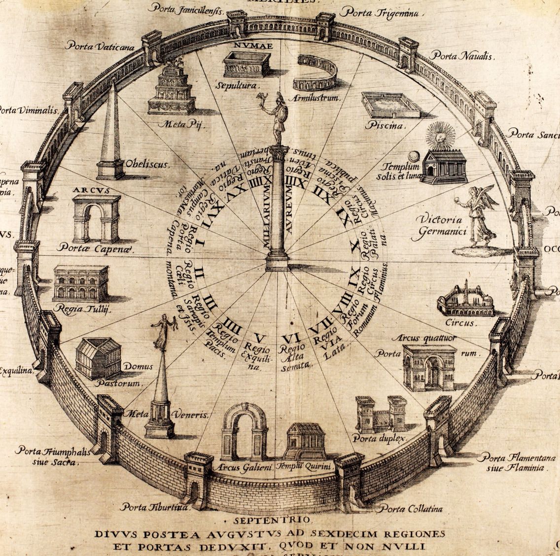
They are facinating, especially the old ones where you can see how the shape of the world was different than what it looks like now. And before there was GPS they were essential for travelling.
I am a fan !


An impressive collection! ❤
LikeLike
Thank you! There are so many beautiful maps made through the centuries — cartography is truly another of the Arts.
LikeLiked by 1 person
They are facinating, especially the old ones where you can see how the shape of the world was different than what it looks like now. And before there was GPS they were essential for travelling.
I am a fan !
LikeLike
Those were the ones I was mostly interested in. I wondered how they knew what the world looked like in the 1600s!
LikeLike
I haven’t got a clue how they knew that.
LikeLike
Reblogged this on Blue Dragon Journal and commented:
I love maps!
LikeLike
They are sooo a piece of history …. and of the art world!
LikeLiked by 2 people